Stavanger Ferry Port Information
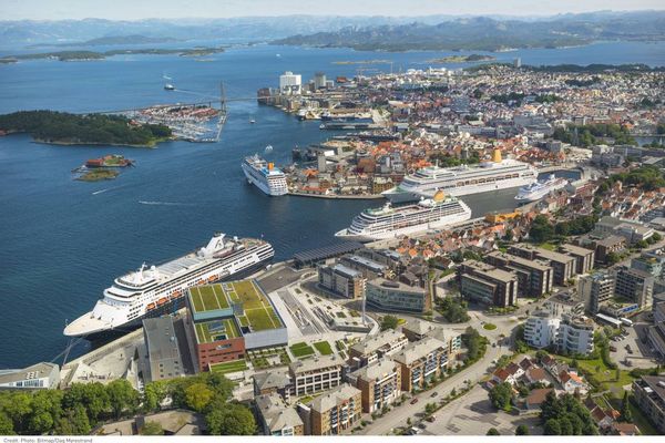
The Port of Stavanger, located in Norway’s scenic southwestern region, is a vital gateway for ferry travel along the Norwegian coast and beyond. Offering efficient connections to domestic and international destinations, the port provides a convenient way to explore Norway’s stunning fjords and coastal landscapes.
Whether you’re exploring Norway’s natural wonders or travelling to nearby regions, the Port of Stavanger offers a seamless and memorable starting point for your journey.
Stavanger in Pictures
Popular Ferry Companies for Stavanger

Departure Board for Stavanger
Thursday, June 11, 2026
Latest Ticket Prices for Stavanger
Latest Ticket Prices for Stavanger


Frequently Asked Questions About Stavanger
Frequently Asked Questions About Stavanger
These are the most commonly asked questions. Can't find what you're looking for? No worries, get in touch and we'll be more than happy to assist with your enquiry.
What are the check-in times for Fjord Line ferries from Stavanger?
Port Terminals For Stavanger
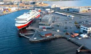
Risavika Ferry Terminal
Foot Passengers: Upon arrival at the terminal, proceed to the designated check-in counters to present their tickets and identification. Vehicle Passengers: Drivers should follow signage to the vehicle embarkation lanes adjacent to the main terminal. You will complete check-in formalities here before boarding.
Modes of Transport: Standard Car, Foot passenger, Bicycle, Motorcycle, Van (passenger)
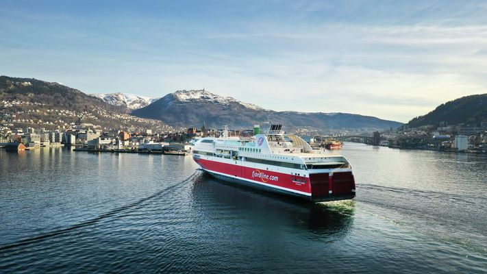
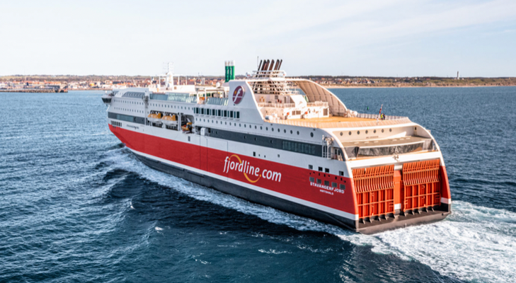
Stavanger Ships
Reviews for Stavanger
Reviews for Stavanger
Fantastic. Loved the Captain’s View…
Fantastic. Loved the Captain’s View cabin. When are you going to make a route directly from UK?